CitiesMaharashtra
19.0760° N · 72.8777° E
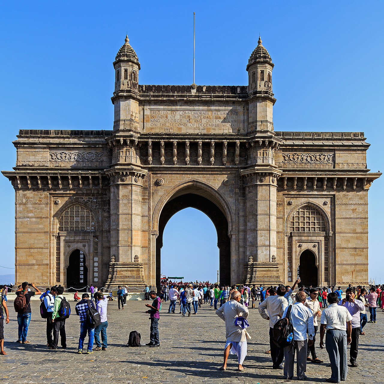
Mumbai.
Low-lying roads, subways, and choked outfalls turn a heavy spell into a city-wide stall.
0 reports5 recurring spots
Open on the mapPhoto: A.Savin · FAL
0
Ankle-deep
0
Knee-deep
0
Waist-deep
0
Stalled vehicles
0
Extreme flooding
0
Not sure
Hotspots
Streets that return.
- Andheri subway
The subway mouth holds a cell of water after every sharp western-suburb burst. Two-wheelers walk it. Cars idle above.
- King Circle
The inner ring at Matunga is a known stall. Pumps arrive. Water still sits at the door sills.
- Hindmata Cinema & Flyover Base
Mumbai's most famous saucer depression on Dr. Ambedkar Road. BEST buses divert over the flyover while underground storage tanks pump continuously.
- Gandhi Market (Sion)
Low-lying bowl where the city highway meets Eastern Express Highway. Water rises to wheel-arches during heavy spells coinciding with high tide.
- Milan Subway (Santacruz)
Chronic western-suburb railway underpass that fills rapidly during cloudbursts, blocking east-west connectivity between SV Road and WEH.
Reports
The record.
Loading live reports…