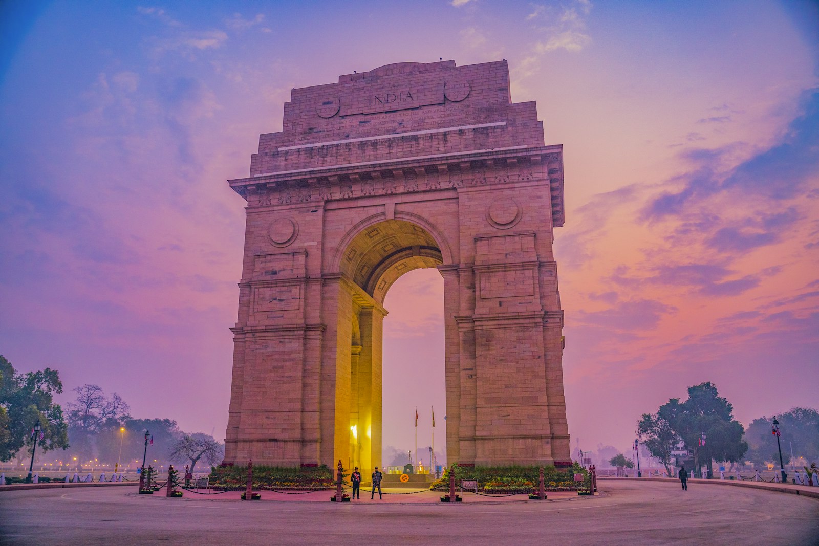
CitiesDelhi
28.6139° N · 77.2090° E
Delhi (NCT).
Minto Bridge, Pragati Maidan tunnel, and ring road underpasses fill during downpours.
0 reports4 recurring spots
Open on the mapPhoto: Unsplash
0
Ankle-deep
0
Knee-deep
0
Waist-deep
0
Stalled vehicles
0
Extreme flooding
0
Not sure
Hotspots
Streets that return.
- Minto Bridge Underpass
The capital's most famous monsoon barometer. Railway dip connecting Connaught Place to New Delhi Station where buses submerge during cloudbursts.
- Moolchand underpass
Inner Ring underpass that fills before pumps catch up. Abandoned cars mid-span.
- ITO Junction & Vikas Marg
Major arterial junction near ITO barrage where Yamuna backflow and choked drains stall thousands of evening commuters.
- Barapullah drain
Service road along the drain. Sewage mix. Slow overnight empty.
Reports
The record.
Loading live reports…